Mahahti Buddha Image Skip to main content

Mahahti Buddha Image

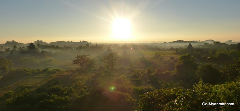
http://www.go-myanmar.com/files/destination-photo/1_mrauk_u_sunset.jpg
Laymyo period had four capitals. Pyinsama was the first capital of Laymyo period and it last 285 years from AD 818 to AD 1103. Purain was the second capital of Laymyo period and it last 57 years from AD 1103 to AD 1160. Nayrinesara was the third capital of Laymyo period and it last 86 years from AD 1160 to AD 1246. Laungkyat was the fourth capital of Laymyo period and it last 184 years from AD 1246 to 1430 AD. Those four cities were situated along Izananadi river, thus, those periods are called Laymyo period in reference to those four cities. The river is also called Laymyo river in reference to those four cities.


The fifth descendant of king Lat Kya Min Nan, the founder of Purain city in Lyamyo period, was king Kaw Li Ya. He did Athaditha donation. The stone inscription written with two inches-sized words on the large natural rock of Kawliya mountain, can still be seen until now. Although the rock layers had detached from the large rock, the inscription on the rock can originally be seen marvellously. Such king Kaw Li Ya erected the Buddha image three miles away from the south-west of Purain city and seven miles away from the south of Marukoo city in AD 1123. The hill the image stands, is fifty feet high. That Buddha image was sculpted in the local rock mountain by cutting it. Such locality was called Ngakaukra because the king said, “Ngakaukra.” It means that he found the stone easily to sculpt the Buddha image. After the long time had been moving, nowadays, that locality is called Ngarakauk.

King Kaw Li Ya placed the Buddha image on Sandapatvata mountain and covered it with the stone umbrella. He worshipped the image by placing it in the stone cave. Such Buddha image was named as Mahahti because it was covered with the stone umbrella.

During the first Anglo-Myanmar war, Buddha image damaged into fragments, and the whole cave also destroyed as the British captain fired the cannon at the cave in which Myanmar soldiers defended. The village situated in the place in which the British captain Baw Raw had stationed, is called Thwraw village. The villagers near Mahahti Buddha image, rebuilt the image combining the fragments they found, but they had to substitute the necessary things with bricks and cement as they didn’t find all original fragments of Buddha image. The Buddha image is eight feet high. The local villagers built a pagoda as well. The prayer hall is in the east of the pagoda. There are two ways to the pagoda: the king way and the queen way. The flat stones were laid in order on the road from the harbour to the stairway of the pagoda because the king came to it by barge for his pilgrimage. Nowadays, the board of trustee maintains the pagoda.

Comments

Popular posts from this blog

Byala, a Rakhine National Emblem

by Dr Saw Mra Aung January 04, 2015   T he ceremony to mark the 40th anniversary Rakhine State Day and to provide the Rakhine State with electricity from the national grid line was celebrated on a grand scale in the Vesali Sports Grounds in Sittwe under the auspices of the Rakhine State Government on the 15th December. The ceremony was televised live and I was transported with rapturous joy to see the people of Rakhine State wreathed in the smiles resulting from the feeling that electricity would be available to them at the rate of 35 kyats per unit, which was many times cheaper than that they had incurred in the past. Sharing this happiness with them, I , putting aside my work, spent the whole evening enjoying the Rakhine traditional dances performed with the accompaniment of the songs sung by nation-famous and local vocalists televised.  Out of the dances, it was the Byala Dance with the accompaniment of a song composed about Byala that intrigued me most. Altho

An ancient Arakan silver coin found in Ramree Township

An ancient Arakan silver coin was found at Ko-ran-taung hill in Ramree Township, Arakan when a villager was digging a hole on the ground at the hill. I can't read the script on the coin. However,according my understanding, I guess the writting - Shwe-nann--tha-khon Candavijayaraja (ေရႊနန္းသခင္ စႏၵဝိယဇရာဇာ). The name 'Candavijaya (စႏၵဝိဇယ)' is very sure even though others not sure. King Candavijayaraja ruled Mrauk-U kingdom for twenty-one years - from 1710 A.D up to 1731 A.D. Around Arakan, many coins were found with the name of that king. So, it is most possible that the coin (in photo) recently found in Ramree Township was made by the King Candavijayaraja (စႏၵဝိဇယရာဇာ). Photo - Rakha Maung http://mrauku.blogspot.com/

Parapaw Pagoda

King Maha Thu Ri Ya Tine San Dra founded Vesali in AD 327. His chief queen was Thu Pa Bar Day Vi, the Sakkya clan of Kapilawat kingdom. One day, the queen spoke to the king humbly that she wanted to make obeisance to Thakkyamuni Buddha image which was worshipped by the ancestors of Kapilawat kingdom in belief. The king sent his ministers to Kapilawat kingdom to convey the Buddha image to Vesali. Thakkyamuni Buddha image carried by the sailing ship to Vesali, fell into the water at Waykhanaungtheinzeetount because the sailing ship wrecked due to the storm. In such time, it has said that Waykhanaung was 120 feet in depth. However they dived into the water to look for it, they didn’t find the image. When the ministers arrived at the palace, they told the king that the Buddha image had fallen into the water. When the queen heard that news, she contracted with the psychological disease because she wanted to make obeisance to the Buddha image intensely. And then, king Maha Tine San Dra made